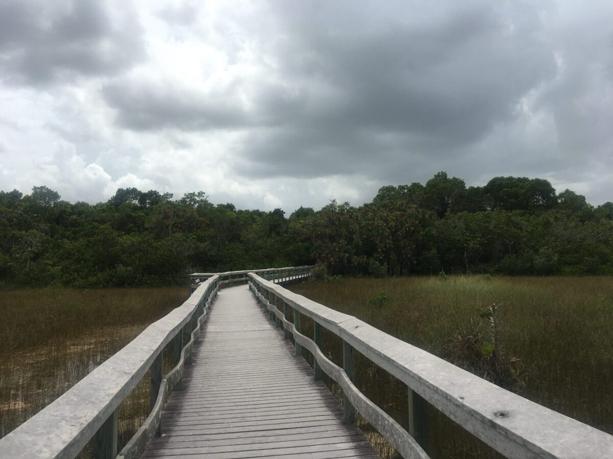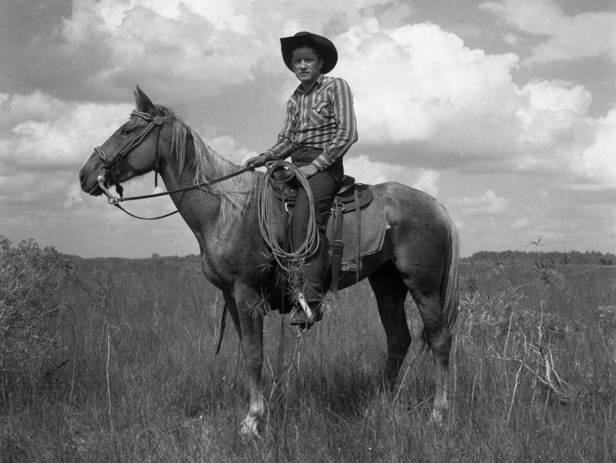
Big Cypress Seminole Reservation from the Florida Trail
Are you up for an adventure? Did you know that we have a national scenic hiking trail located right here in our backyard? The Florida National Scenic Trail (also known as the Florida Trail) stretches from the Big Cypress National Preserve to the Gulf Island’s National Seashore on the western Panhandle. On the trail, you can explore Wild Florida in every region of the state. The Trail is approximately a one-hour drive for almost all Floridians, so it is easily accessible from most places in the state. But, remember! Although Florida is flat, thru-hiking the trail is not for the faint of heart. This week, learn about the Florida Trail, highlights and dangers, and how you can safely plan and experience the Trail.
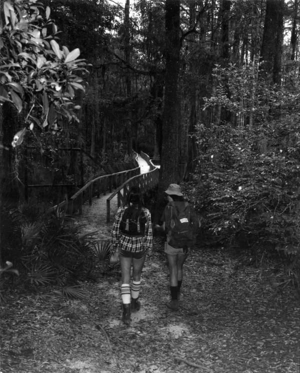
Hikers walk towards a trail – Ocala National Forest, Florida. 1976-12. State Archives of Florida, Florida Memory.
The Florida Trail
In the 1960s, Miami resident and avid hiker Jim Kern hiked a 40 mile stretch of the Appalachian Trail while on a family vacation. Coming home, Kern realized that Florida did not have any hiking trails. He set out to change that, and founded the Florida Trail Association (FTA) to help realize his dream of a long-distance hiking trail. A volunteer organization, the FTA was instrumental in the designation of the Florida Trail. The first bright orange blaze of the trail was placed in the Ocala National Forest in 1966. Congress officially designated the Florida Trail a National Scenic Trail in 1983. Now, the FTA and other dedicated volunteers focus on maintaining and promoting the trail, as well as connecting the wilderness sections in safer ways. A volunteer success story, the Florida Trail is managed and maintained by a network of over 30 land managers, agencies, and countless volunteers.
Made up of four geographical regions, the Florida Trail runs almost 1,500 miles of Florida’s most breathtaking nature areas. A long distance thru-hiking trail, the Florida Trail is one of only eleven National Scenic Trails in the country. It is also only one of three contained entirely within a single state. National Scenic Trails are part of the National Trail System, and designated by the USDA Forest Service. They were designed “to preserve the country’s scenic, historic, cultural and natural wonders.” The Florida Trail is a perfect example of this, with notable highlights that center on the beautiful, rugged landscapes that make Florida unique. There are opportunities for smaller day hikes, as well as extended thru-hiking options. Although open year-round, hiking season runs from late fall to early spring. Summertime has less than ideal hiking conditions, with unpredictable weather and extreme temperatures that we discussed in last week’s post.
What is thru-hiking?
When you think about hiking, most of us envision day hikes with picnic lunches and getting home by 6 pm. And while you can experience that on the Florida Trail, it is also popular as a thru-hiking destination. But, what exactly does that mean? Thru-hiking is the long distance end-to-end hiking of an established trail in one continuous direction. In the United States, the Appalachian Trail (AT) and the Pacific Crest Trail (PCT) are some of the most recognizable long-distance trails.
As discussed above, Jim Kern took inspiration from the Appalachian Trail when beginning the push to create a long-distance trail in Florida. It takes a typical thru-hiker about two to three months to complete the Florida Trail from end to end. The planning portion of the hike itself is vital to the success of your trip. Planning resupply points, creating emergency plans, and obtaining camping and hiking permits are only some of the things that need to be worked out in advance.
But, if thru-hiking sounds too involved, day hikes and section hikes are also popular options. Approximately 350,000 people visit the Trail annually. Most of them are pedestrian hikers in the winter months. While only a few dozen of these will attempt a true thru-hike, the rest are casual day or section hikers. Section hiking is hiking portions of the trail at a time, with the intention of completing it fully in chunks. It allows more flexibility, as you can go at your own pace. Day hikes are for the more casual hiker, and can span from a leisurely two-mile stroll to a rigorous 15+ mile backwoods hike. Interested in shorter day hikes or backpacking trips along the Florida Trail? The Florida Trail Association provides easily accessible “Grab and Go” maps here along the entire Trail.
How to find the Trail and Plan your Trip
Long distance thru-hiking is an exhilarating past time. You can push yourself to the limit, while exploring some of the richest natural areas a country has to offer. If you’re traveling the Florida Trail, you will see some of the most unique ecosystems in the world. But, safety needs to be a priority. Although Florida is flat, the environment is harsh, and thru-hiking takes a lot of dedicated planning for even the most experienced hikers. So, planning your trip thoroughly is paramount to having a good experience. There are many resources to help you map and plan your trip. A complete thru-hiking preparation packet from the Florida Trail Association is available here. In addition to the “Grab and Go” maps linked above, there is a comprehensive ArcGIS map available online or through the ArcGIS Explorer App. You can also purchase paper maps through the Florida Trail Association.
Maps are not the only thing you need to prepare for your time on the Trail. Plan your resupply, camping, and daily itineraries ahead of time. Thru-hiking takes significant dedication and time. If you intend to complete the trail end-to-end, preparation will go a long way to having a positive, safe experience. Make sure to carry the appropriate permits, as well as knowledge about hunting season and regulations. Have emergency plans in place for accidents, inclement weather, and wildlife encounters. Check all trail closures and notices prior to your trip, especially if you are choosing to hike during the summer months. Resources for Hiker Safety from the Florida Trail Association can be found here.
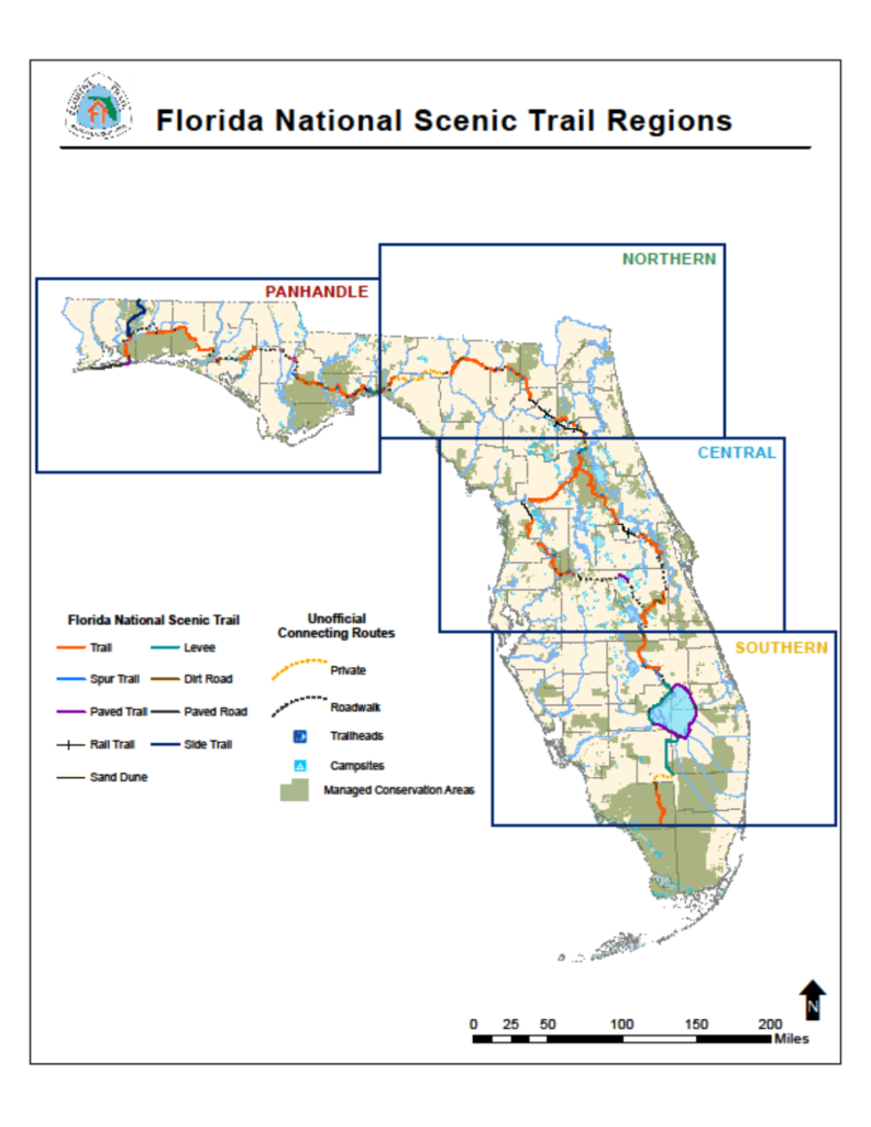
USDA Forest Service National Forests in Florida, Public domain, via Wikimedia Commons
South Florida Highlights along the Trail
The Trail is comprised of four regions within the state. Above, you can see how they are broken down by the USDA Forest Service. They are the Panhandle, Northern, Central, and Southern regions. Each is distinct, with its own treasures to explore. Below, take a look at the top three highlights along the Trail for the Southern Region.
Lake Okeechobee
Follow the Herbert Hoover Dike along Lake Okeechobee. Lake Okeechobee is one of the largest freshwater lakes in the United States. It is important to the sheet flow of the Florida Everglades. Remote and scenic, this section of the Trail also passes through the Fisheating Creek floodplain on the west side. Cattle ranches and sugar cane fields bracket the lake. The Great Florida Birding Trail also meanders along this section of the lake. We have discussed the Great Florida Birding Trail here in a previous blog post. Along this section, you may see meadowlarks, flocks of sandhill cranes, egrets, herons, wood storks, and white pelicans. Also be on the lookout for alligators, otters, turtles, and raccoons during your visit.
Big Cypress Seminole Indian Reservation
Just north of the Big Cypress National Preserve, the Trail meanders through the Big Cypress Seminole Indian Reservation. Following along the reservation roadways, hikers will pass by slightly drier pinelands, cattle ranches, canals, and farmlands. Hardwood hammocks and cypress domes dot the landscape. Hikers can visit any of the amenities on the reservation, including the Ah-Tah-Thi-Ki Museum and Boardwalk. The boardwalk is also part of the Great Florida Birding Trail, and loops through a cypress dome. Warblers, herons, raptors, snakes, turtles, and alligators are often visible from the boardwalk. Inside the Museum, learn more about the history, culture, and enduring presence of the Seminole Tribe of Florida. The Big Cypress RV Resort is a great option for less rustic accommodations on the Trail, and offers many amenities including RV camp spots and hook ups. Before hiking through the reservation, please follow the directions here to request a permit.
Big Cypress National Preserve
To the South, the Big Cypress National Preserve signals the terminal point of the Florida Trail. It ends at the Oasis Visitor’s Center. The Big Cypress National Preserve features almost 729,000 acres of subtropical wetland, much of which is covered with dwarf pond cypress. Hardwood hammocks, sloughs, marshes, and mangrove forests are all encompassed within the preserve. A wide variety of birds, fish, deer, Florida black bears, Florida panthers, bobcats, alligators, turtles, and other animals call the preserve home. To learn more about the Big Cypress National Preserve, as well as the customary use rights the Seminole and Miccosukee people have in the preserve, visit a previous blog post here. Backcountry permits are required for hiking through the preserve, and can be found at the Oasis Visitors Center or printed here.
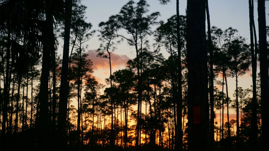
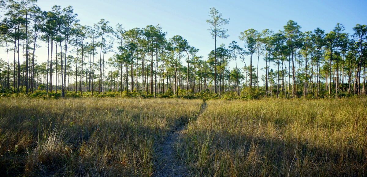
Sunset in a Pineland on the Florida Trail, BCNP, NPS, Public Domain
So, are you ready to get out on the Trail? Florida is unique, and the Florida Trail is a great way to guarantee you get to see many of the beautiful things that make the Sunshine State great. As you spend time on the Trail, remember that you are a visitor in Florida’s precious natural spaces. As always, be an ethical tourist in Indian Country. So, be intentional, mindful of your impact, and think critically about how you inhabit these spaces.


